
Pahrump off-road experience is better with a map
 Traveling to new places to check out new trails can be exciting, especially if you know where you are going. This article is specifically written for those off-road enthusiasts who hate to ask directions. So don’t, and read on.
But what if you don’t know. It’s hard to plan a trip if you don’t know what to expect. Dumont Dunes in the Southern Mojave in California is a great example. One can now go online and see what the dunes are all about. You want to know what to do there, where to camp, or even how many trails there are. It is all laid out for you on their website.
People like the easy access to the trail system in Pahrump
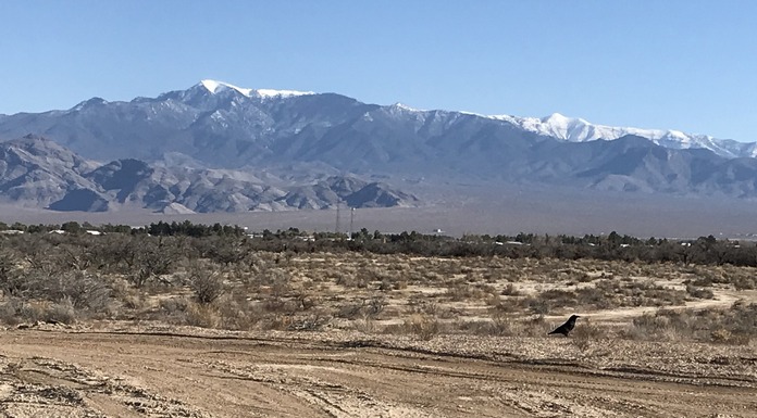
 In Pahrump, what many of the people and tourists enjoy is easy access to the trails. A great majority of them can be accessed from Highway 160, the main highway into town.
The problem has never been accessing the trails, but for many travelers to Pahrump this was not the case until recently. Now, thanks to the Pahrump Board of Tourism, it’s all there online. People who want to plan an off-highway experience in Pahrump can do so with the help of a great website. The site and maps can be downloaded to your phone for easy use.
Pahrump agrees with you and tries to accommodate all its tourists and visitors by providing all the information they can that can be accessed with a little research on your phone or computer.
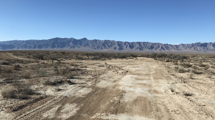
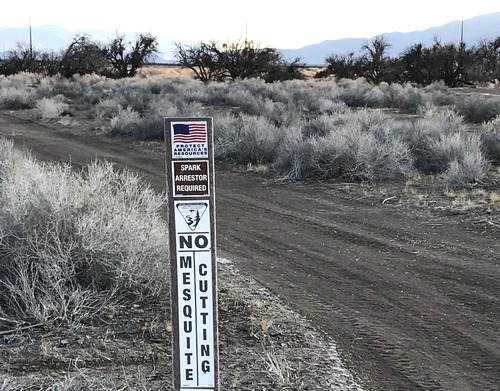
Pahrump’s vast off-road trails network is unmarked
 The website provides first-time visitors with trail information they otherwise wouldn’t have. The one downfall of Pahrump’s vast off-road trail system is that the trails in Pahrump are unmarked and unnamed. The reason for this is the land is currently maintained by the Bureau of Land Management and the BLM does not have the funds to mark and name all the trails.
As Beatty is finding out, the naming and marking of trails is a huge expense. Dave Spicer, an ecotourism advocate in Beatty, has been submitting mountain bike trails to the BLM for the past three years. These trails he had planned to fund himself, and the BLM is only listening to him now.
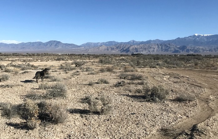
The trails that are marked in the town are most likely in the Spring Mountain National Recreation Area. In Pahrump, only a few well-known trails are marked like Carpenter canyon and Wheeler’s Pass.
The problem is getting around the trails once you are on them.
 The town of Pahrump addressed this by going to experts like Robert Adams, who is the Legislative Officer of AMA District 35 of the Motorcycle Racing Association of Nevada. He and other off-road enthusiasts like the Pahrump 4-Wheelers have done a great job of organizing efforts to solve this problem. The website exists due to their efforts and hard work along with the Pahrump Tourism Board. The site also includes lodging information.
In addition, The tourism board recognized the need to have access to people who know the area and so they received permission to put Adam’s contact info and the Pahrump 4-wheelers info on the website, in case people needed further information about the trails.
Most importantly, on the off-road adventures portion of this website, you will find maps and good trail descriptions. The trail descriptions will tell you the type of trail it is and what type of vehicle is best fitted for that trail. Have fun and happy trails.
— Vernon Hee


