
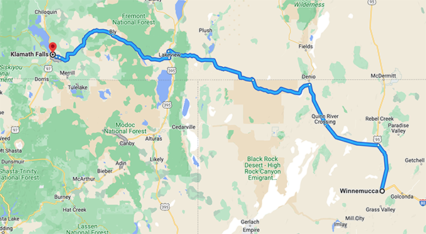
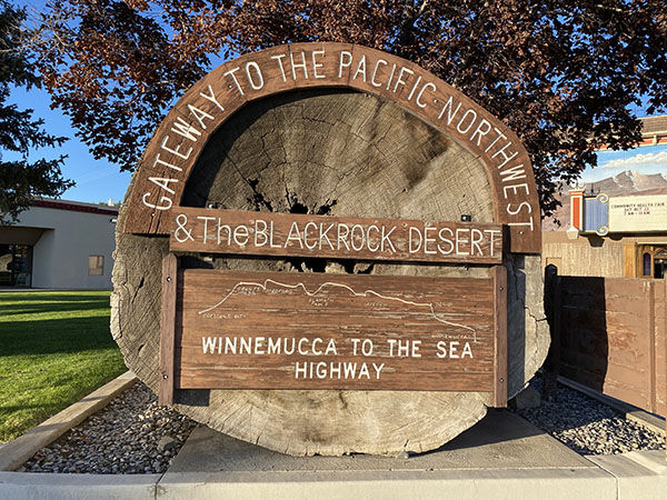
 Winnemucca to the Sea
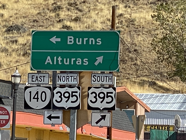
The Winnemucca to the Sea highway was proposed by locals and ranchers In the 1950’s thinking they needed a direct route to the sea in Crescent City. A group formed to look into the feasibility of having continuous, improved, all weather route from US40 (now I80) from Winnemucca through Medford, Oregon and on to Crescent City on the coast of California. They had hoped for a single route, highway 140 to span the full route. While that never materialized Route 140 does cover much of the route between Winnemucca and Klamath Falls, which is the route we followed.
This 494 mile route to the sea begins at the corner of Winnemucca Blvd and Melarkey Street where a 1477 year old redwood log sits. It was presented to the City of Winnemucca to mark the start of the Winnemucca to the Sea Highway. It came from the largest known driftwood ever collected, a redwood log which drifted onto a California beach in 1964.
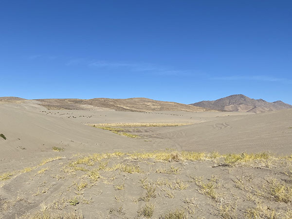
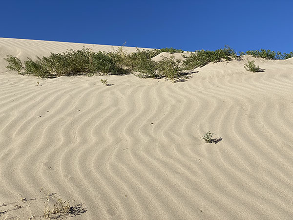
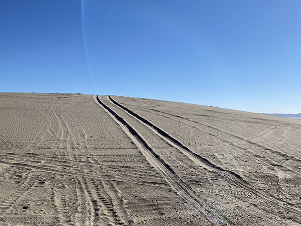
Sand Dunes
Shortly out of Winnemucca are the Sand Dunes, which are Nevada’s largest sand dune field, sprawling to the horizon, stretching 40 miles. They aren’t tall only about 100 feet high and began forming in the 1940’s. This is a popular place for ATVs and the facilities have been provided by the Northern Nevada ATV Association. There were no ATVs when we were there and it’s serene and peaceful wandering through.
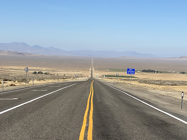
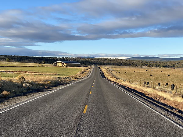
On to 140 West
There’s a long stretch of straight highway when leaving 95 to 140 and heading for Denio.
It’s always surprising to find water on the desert. But it’s there in all shapes, sizes and origins.
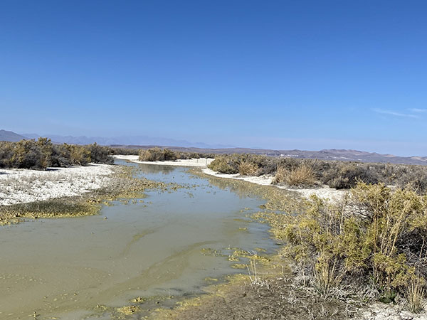
The Quinn River encounters 140 several times on the way to Denio. It’s an intermittent river and may or may not have water. It drains a basin within the Great Basin, runs 110 miles and eventually sinks in the Black Rock Desert. The river was running at Quinn River Crossing.
Denio
from David Toll’s trip in 2003
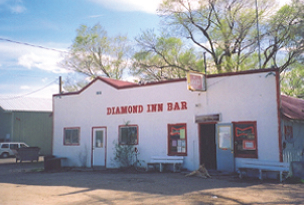
Peace and quiet reigns in Denio.
I made a little trip out I-80 and took the opportunity to visit Denio, the little remnant of a town on the Oregon border via US 95 and Nevada Routes 140 and 292. It’s about a hundred miles northwest of Winnemucca, and a hundred years back in time. Peace and quiet reigns in Denio. The calm of the place is profound. There were a couple of young cowboys in for provisions, the lady tending bar was reading a newspaper, I was gawping around, and a dog the size and shape of a lion snoozed in the doorway. Across the drive is a phone booth that hasn’t worked in years. Every once in a while a car or a truck drives by. There’s a bench outside the saloon doorway, and it cries out to be sat on. And when you do sit down there, your hand yearns for the chilly kiss of a cold Budweiser.
Nothing moves, nothing breaks the silence.
David W. Toll
May 1, 2003
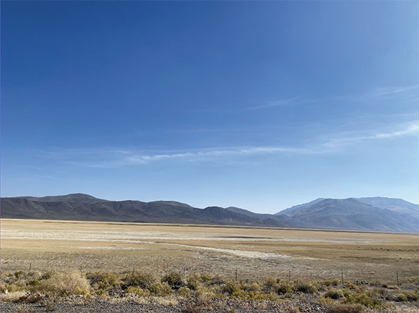
Just west of Denio is the dry lake bed of Continental Lake. At one time the fishing was productive. Spinning, fly or bait fishing we’re told.
If you’re hoping for a hot spring watch for a turn off to the north to Boggs Hot Spring, about 12 miles out of town.
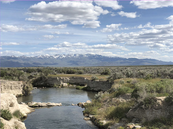
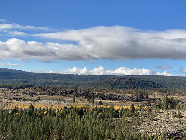
The Sheldon National Wildlife Refuge
Sheldon Slide Show: These photographs are compiled from two trips to the Refuge. One in May, 2019 coming in from the west after a wet winter. The recent one in October, 2022 coming in from the east. Click here for the slideshow.
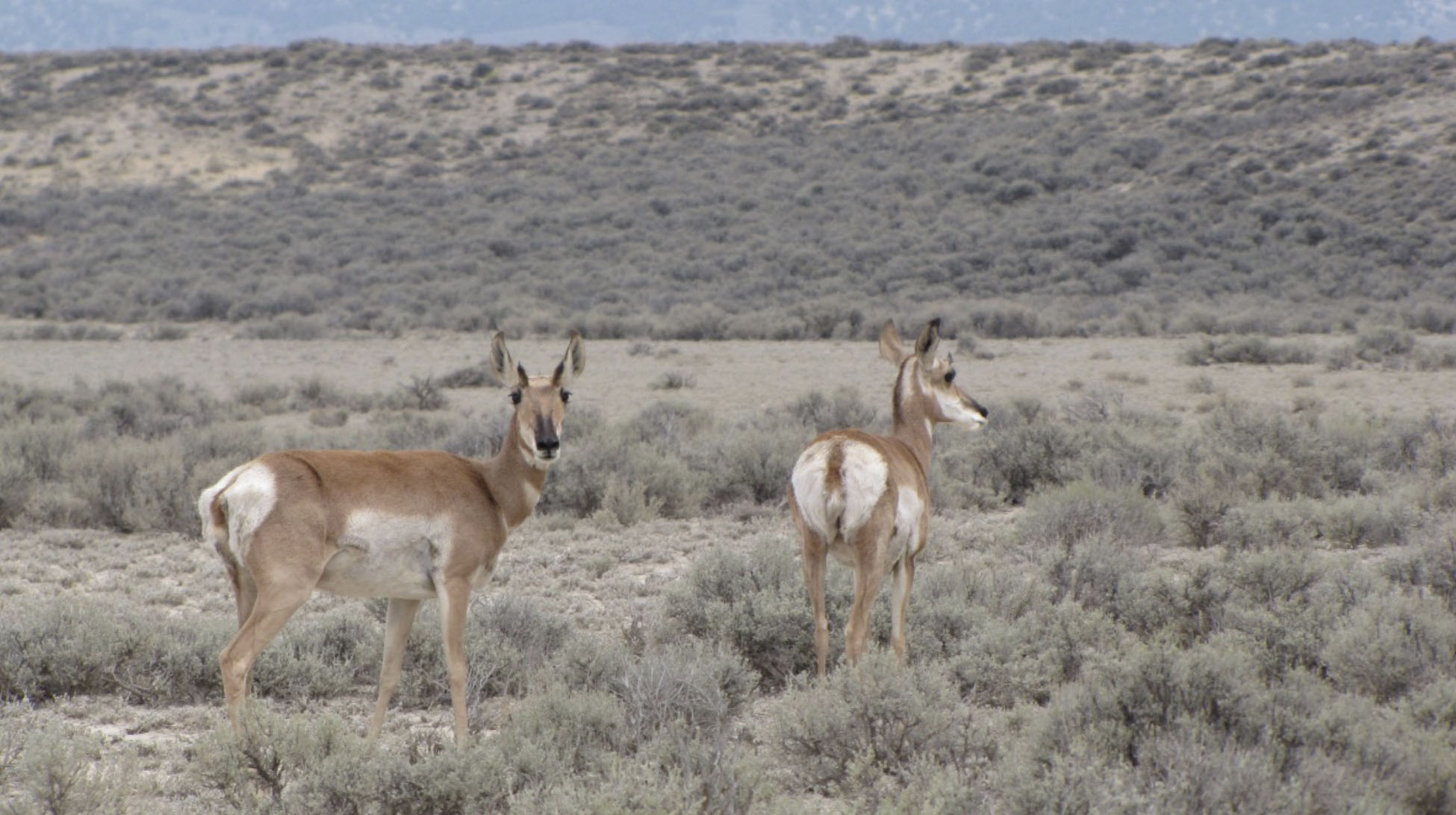
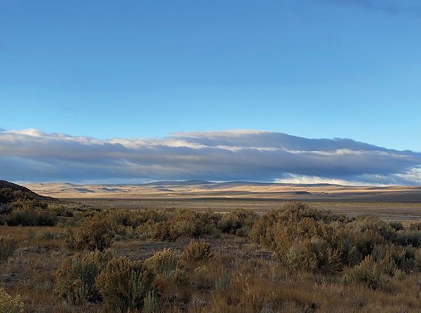
The Sheldon National Wildlife Refuge is almost 600,000 acres in the upper northwest corner of the state, and continuing into southern Oregon. It’s the place to go if you want to lose yourself in the wilderness with 360 degrees of glorious landscape during all types of weather. Herbert Hoover and FDR both contributed to the establishment of this preserve originally designated to protect the pronghorn antelope, which developed over 20 million years. These graceful, tawny ungulates are the sole survivor of the Pleistocene extinctions and can be seen throughout the refuge. They are easily recognized from afar by their attractive white bottoms.
The refuge also gives protection 270 other animals, 75 pollinators and 600 plants.This area is largely made up of volcanic table lands, rolling hills, valleys, and narrow gorges with running water. There are many lakes, streams, springs, reservoirs and gorges throughout the area. Some of these water sources have dried up in the past decade and it’s uncertain when or if they will return. Sadly, these were once places to fish, they are now just an imprint to remind us of what they were.
Dufurrena Ponds
Dufurrena Ponds are popular with anglers and bird watchers. There are nine ponds offering warm water fish including large mouth bass, bluegill, crappie, and yellow perch. Over 135 species of birds have been observed here.
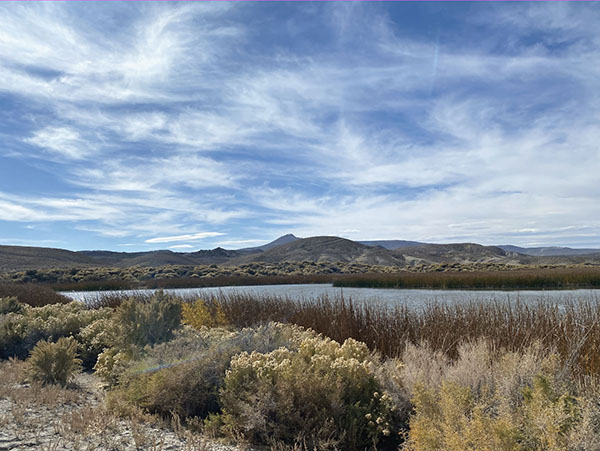
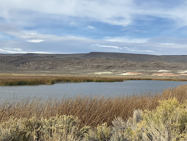
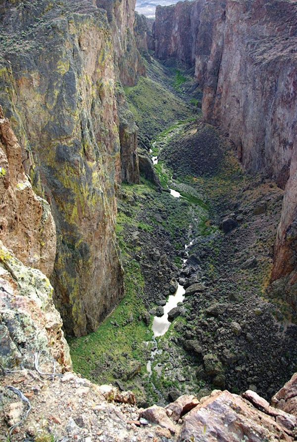
The ponds are fed by Thousand Creek Spring, which then flows east through Thousand Creek Gorge, a mile long crack in the earth. This is an otherworldly hike to put it mildly. Be sure to check the conditions; in the spring and wet summers there can be enough water to prohibit passage. The best time is late summer.
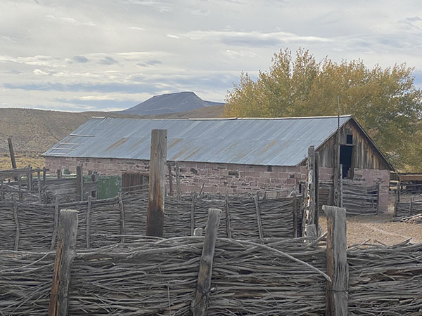
Beyond the ponds, check out the historic stone buildings and fences at the Sheldon Field Station.
Virgin Valley has hot springs and opal mines. Virgin Valley Campground offers free camping, hot mineral showers, and a hot mineral pond.
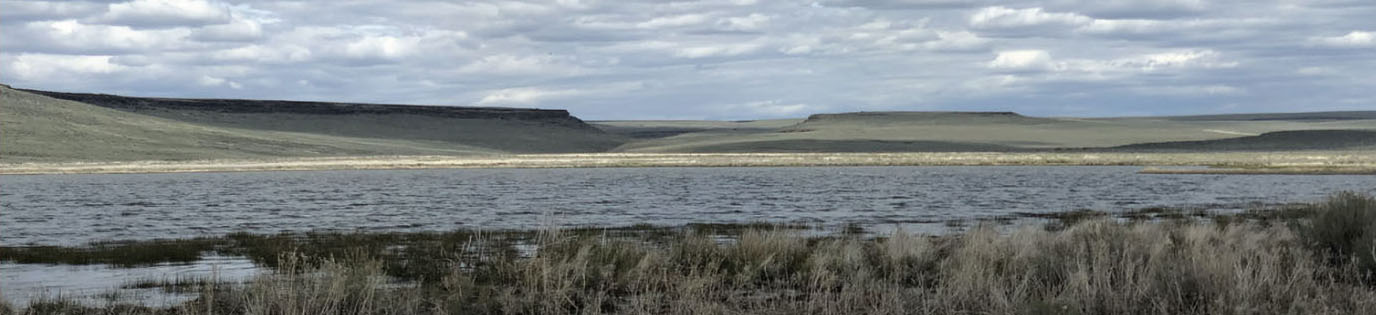
Big Springs

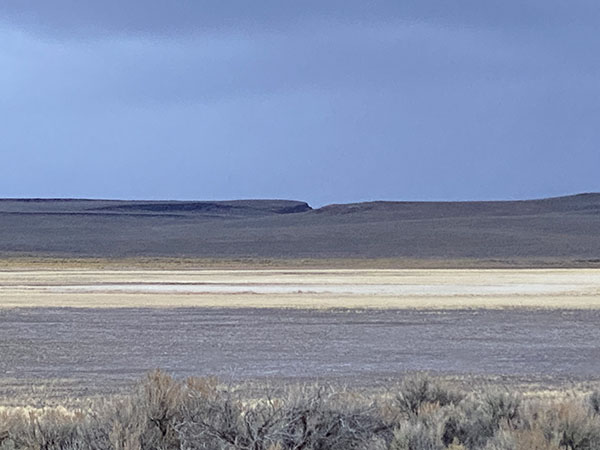
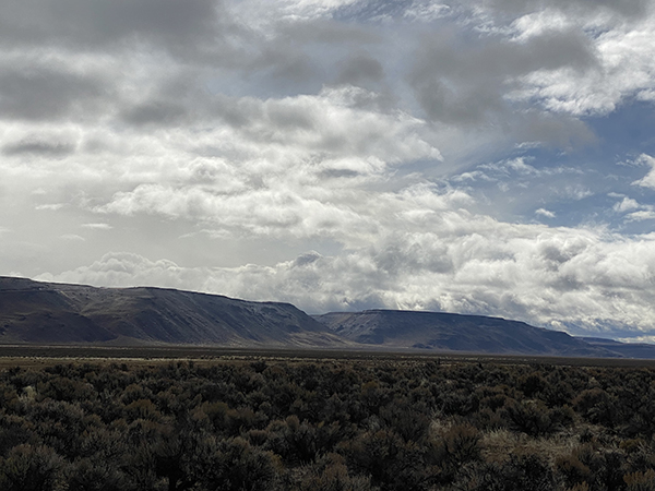
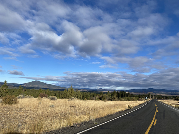
Continuing west on 140, is Big Springs Reservoir and the Sage Hen Hills. The reservoir is dry today. Big Springs which ran through a canyon just east and fed this reservoir has dried up. At one time you could fish for rainbow trout here. The landscape around Big Springs is stunning in its starkness and subtle palette. Directly north in the hills there’s an obvious cleft or fissure in the hill.
Oregon
Before passing into Oregon, Sage Hen Hills Summit is the highest point on the route, at 6,349 feet.
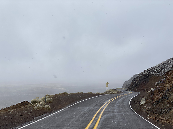
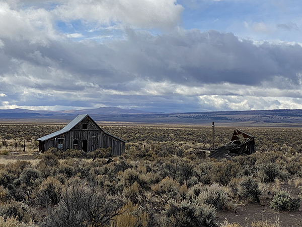
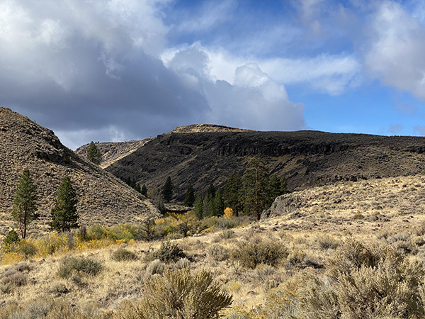
Entering Oregon are the Guano Rim and Doherty Slide. A huge volcanic mass that ends abruptly forming the Guano Rim is 25 miles long and 900 feet high. The drop is steep with a narrow two lane snaking roadway. No guardrails. If you want a picture, pull into the hang gliding launch spot at the top. If you are at all acrophobic let someone else drive. Once you start down there are few if any safe places to pull over.
Out into the Guano Valley you can fully appreciate the sheer size of this gigantic volcanic land mass that you just descended.
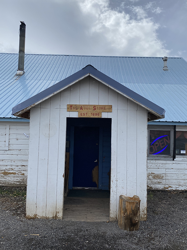
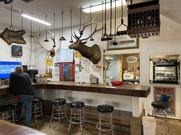
Adel, Oregon
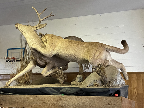
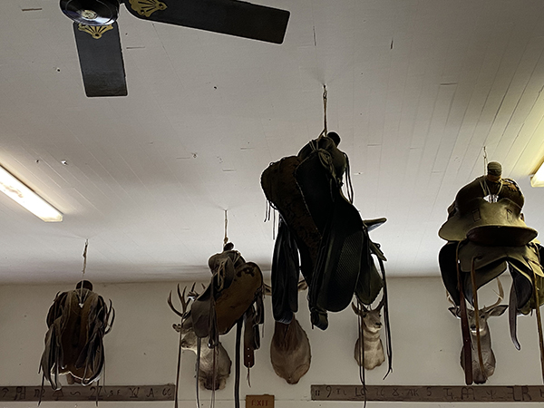
Adel is the first town you’ll come to in Oregon and it’s worth a stop at the store. Taxidermy, saddles and branding irons are on full display. There is food available and they will pump gas for you.
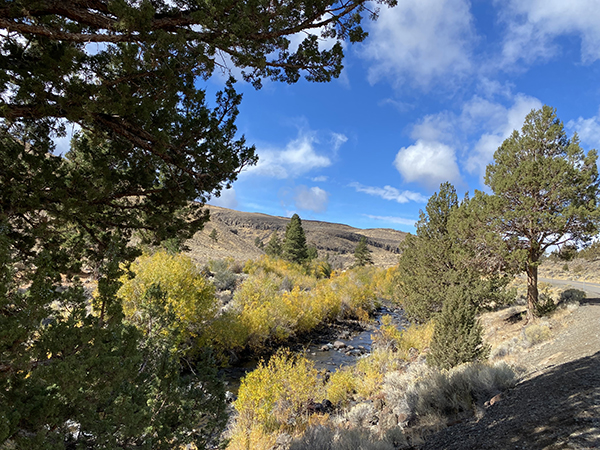
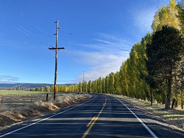
140 follows several creeks and rivers on the way to Lakeview. Deep Creek, Parnsnip Creek, Camas Creek.
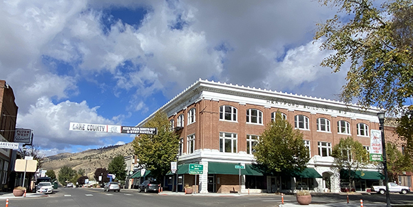
Lakeview
Onto Lakeview, which appears to be a major cross roads in Southern Oregon. Lakeview is a small town with all the amenities you might require.
Leaving Lakeview

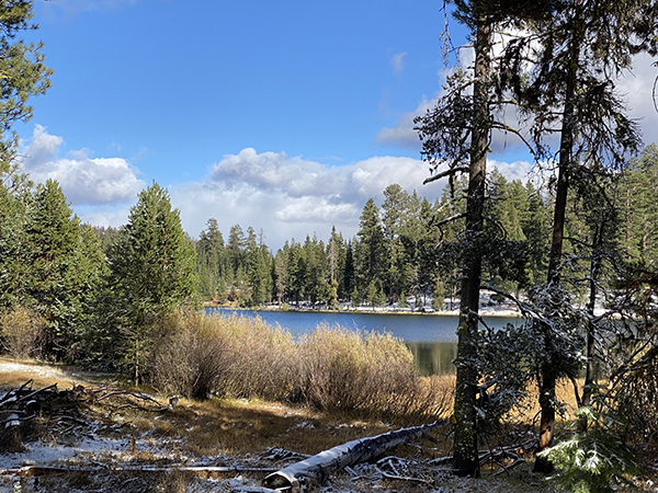
Cottonwood Meadows
West of Lakeview there’s a side trip to Cottonwood Meadows which is a popular campground in the summer with a spring fed lake stocked with rainbow and brook trout. It’s at 6130 feet, so be careful in the fall it can get cold when the sun goes down.
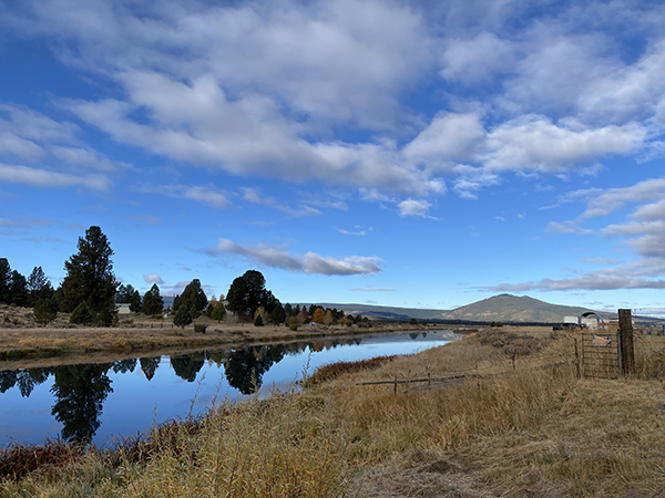
Sprague River
140 follows the Sprague River for a number of miles. Fishing can be pleasurable especially the lower river for rainbow and brown trout, but generally this is not considered destination fishing. The river is extremely scenic however and side trips through this area are quite gratifying.

We took a side trip to the town of Sprague River, which isn’t much of a town but the drive was exceedingly scenic.
On the way to Klamath Falls
Klamath Falls
BTW: There are no falls in Klamath Falls. You’ll need to travel out of town to see any. However, some marketing genius has tried to promote the “rapids” in Klamath Falls instead. We searched to no avail. And as it turns out the “rapids” weren’t much more than a few riffles in the river. But it had us exploring the city more than we might have otherwise.
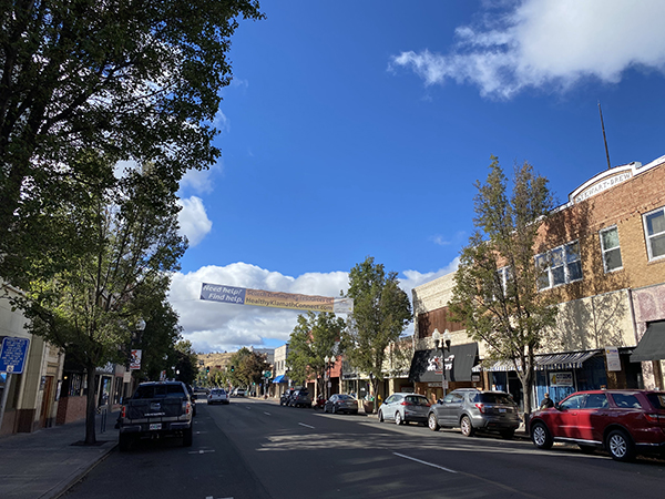
The Klamath Grill downtown is a worthy place for a meal. It’s an impressively varied menu. We would come back for the blueberry pancakes which were excellent. It’s a very popular place and a friendly atmosphere.
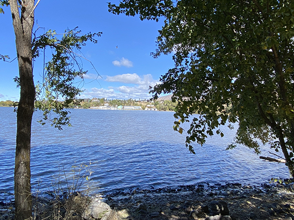
Lake Ewauna in the middle of town is a pleasant stop. Moore park on the west side is easy to get to and there’s plenty of free parking and restrooms.
That concludes this trip and we hope to continue in the spring to Crescent City if the weather is good. Stay tuned.


Great article. Encourages me to travel the gaps in the drive missed on past excursions.
One addition – a sidetrip to Plush, the Hart Mountain Wildlife Refuge; and perhaps French Glen and Steens Mountain. Plush and Hart Mountain aren’t too far. Steens Mountain will add miles and time, and the use of a long rock-studded dirt road. Gas at Plush and a general store, last time I looked. If you pass through after a wet winter, ancient Lake Abert and the other remnant lakes can connect, and the landscape then is of ancient mountain islands surrounded by seemingly endless water.
Thanks for those suggestions Don.
Really well-structured and easy to follow.